5.5 km and 610 m of elevation gain / 185 m of elevation loss


Alta Via 1 South
7 days / 6 nights
|
Starting point
Cortina d'Ampezzo
Finish point
La Stanga
Season
From July to September
Technical level
3/5
Fitness level
3/5
Tour type
Hut-to-Hut
Starting point
Cortina d'Ampezzo
Finish point
La Stanga
Season
From July to September
Technical level
3/5
Fitness level
3/5
Tour type
Hut-to-Hut
Highlights
- Hike the less crowded part of Alta Via 1
- Witness Cinque Torri from up close
- Delight in the green alpine meadows at Passo Giau
- Enjoy traditional Italian meals at the authentic rifugios
- Pass below the majestic Monte Pelmo and Monte Civetta
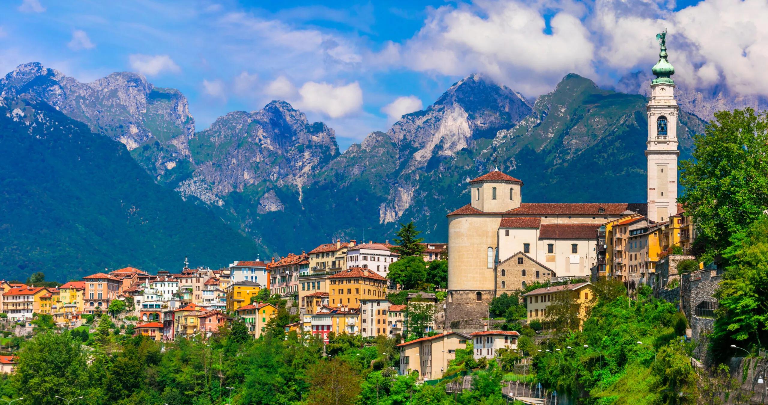
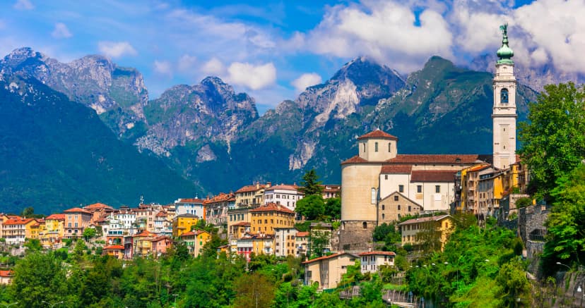
- Wrap up your journey in Val Cordevole near Belluno
What’s included in the price?
Self-guided
NOT INCLUDED
OPTIONAL EXTRAS
What to bring to the tour
- Hiking shoes/boots
- 25 to 45-liter backpack
- Base layer
- Sports T-shirts
- Hiking shorts
- Hiking water-repellent pants
- Waterproof jacket
- Midlayer
- Sports socks and underwear
- Leisurewear for evenings
- Down jacket
- Gloves
- Shade hat/cap
- Warm headwear
- Sunscreen
- Sunglasses
- Headlamp
- Hiking poles
- ID card or passport
- Snacks
- Cash
- Water bottles or hydration pack
- Sleeping liner
- Toiletries
- Toilet paper
- Small first aid kit
Alta Via 1 is quite an undertaking if you intend to tackle it in one piece. For those who feel nine consecutive days in the Alps are a tad too intense, we prepared a shortened version of the iconic hike, the six stages south of Cortina d’Ampezzo.
Amounting to 86 kilometers and 2600 meters of elevation across six days, it proves to be a more demanding challenge than our Alta Via 1 Highlights hike. You should expect to be en route from 6-8 hours daily.
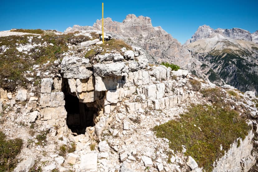
This part of Alta Via 1 leads past some Dolomites' worldwide-known icons, such as Cinque Torri and Monte Civetta. You also hike across the incredibly picturesque Passo Giau and its green sea of high-alpine meadows, making this part of Alta Via 1 the favorite of some hikers.
Additionally, the stages after Passo Giau tend to be less crowded, and you will be able to drink in the Dolomites in their totality without any disruptive factors preventing you from doing so.
We will book all your accommodations at rifugios and offer you support during your hike. You will also receive a detailed written guide with a day-by-day itinerary and a precise GPS track of the planned route beforehand.
If you have never been to the Dolomites before, we think it is about time you mend that by hiking the southern part of Alta Via 1!
Top Places You'll See
From natural wonders to authentic local culture, the route is packed with memorable sights—these are our absolute favorites.
Frequently Asked Questions
All available guidance options
Self-guided
Are you looking for a good adventure and limitless flexibility? Then you should try out a self-guided tour, perfect for independent explorers who want to set their own pace. Without the need to stick to a group schedule, you’re free to linger at scenic viewpoints while the logistics are taken care of in advance.
.svg)
HANDPICKED ADVENTURES
Only the best adventures across the world, cherry-picked by our team with an in-depth knowledge of the regions.

SELF-GUIDED TRAVEL
Explore independently and with confidence while we keep everything running from behind the scenes.
.svg)
VALUE YOUR TIME
With everything on your plate, let us handle the vacation planning, so your valuable time stays exactly where you need it.
TRUSTED BY MANY
We are a financially protected company operating since 2014, and with thousands of satisfied customers in the past, we still put you first.


